Just fifty kilometres west of Malaga City and only 45 minutes by car is a part of the Costa del Sol coastline that may be unrecognisable to some. It is the most western point of the Province of Malaga and part of the region known as La Axarquía.
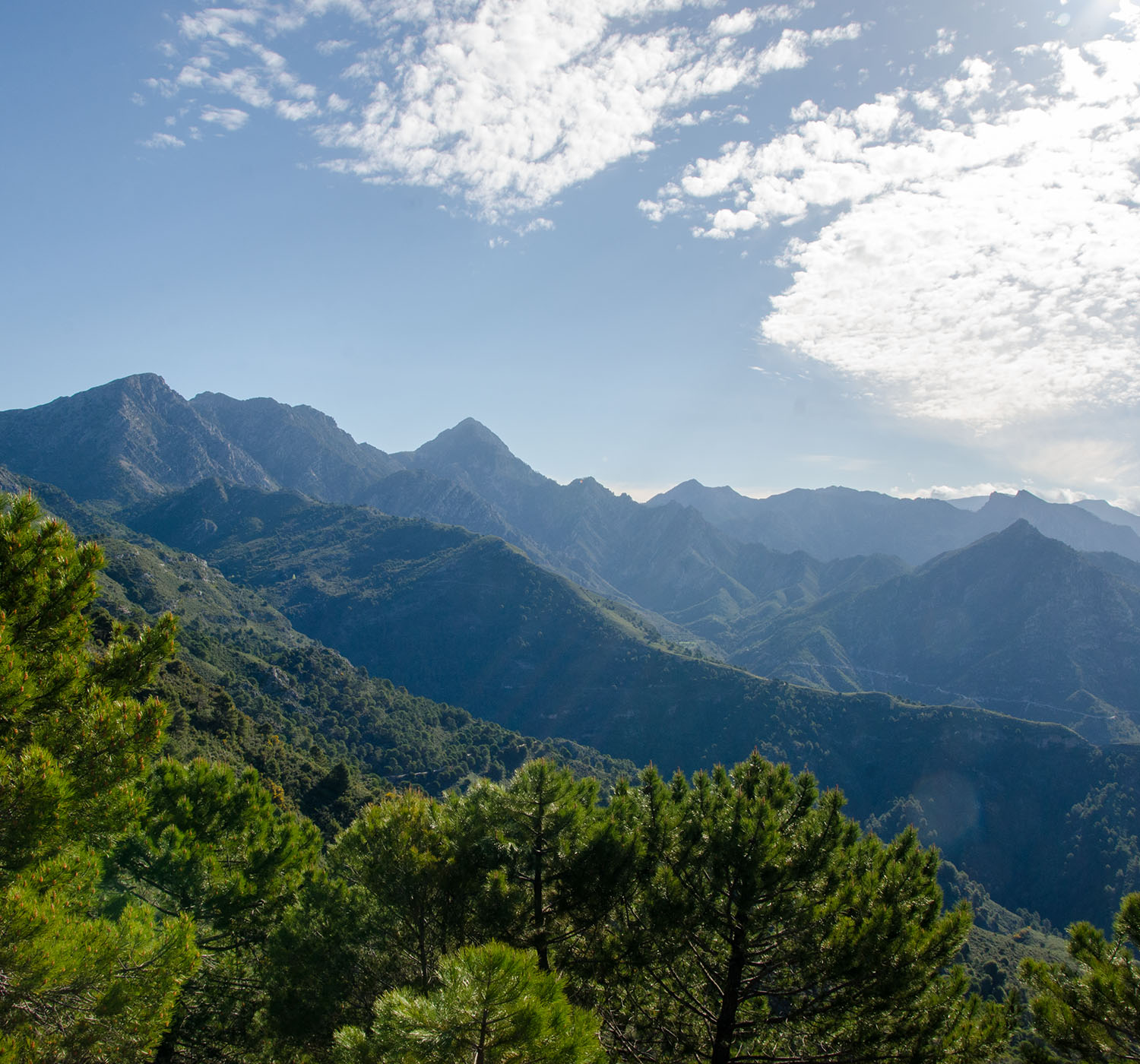
It is where the Sierra de Almijara, a part of the Sierra Tejeda, Alhama, and Almijara Natural Park, dramatically meets the Mediterranean Sea. These mountains, with their steep sides, deep ravines, rocky coves, and awe-inspiring sea cliffs, have served as a natural barrier to the development of tourist complexes, preserving this stretch of coastline in its pristine state.
The few developments that have occurred are extensions of existing villages and towns, maintaining the region's unique charm.
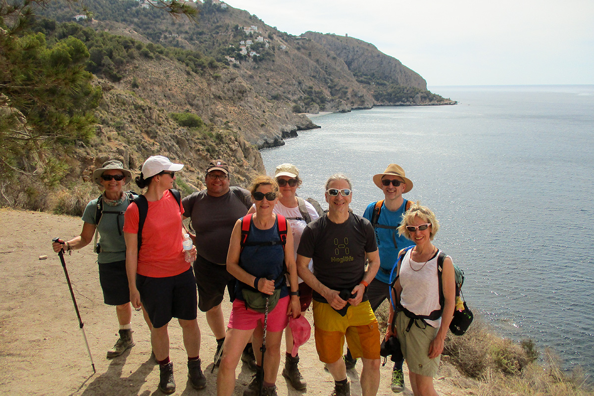
Join me for a weekend as we explore and enjoy the villages, towns, and coastal areas of the Sierra de Almijara.
Sierra de Almijara and the mountain towns
Sierra de Almijara
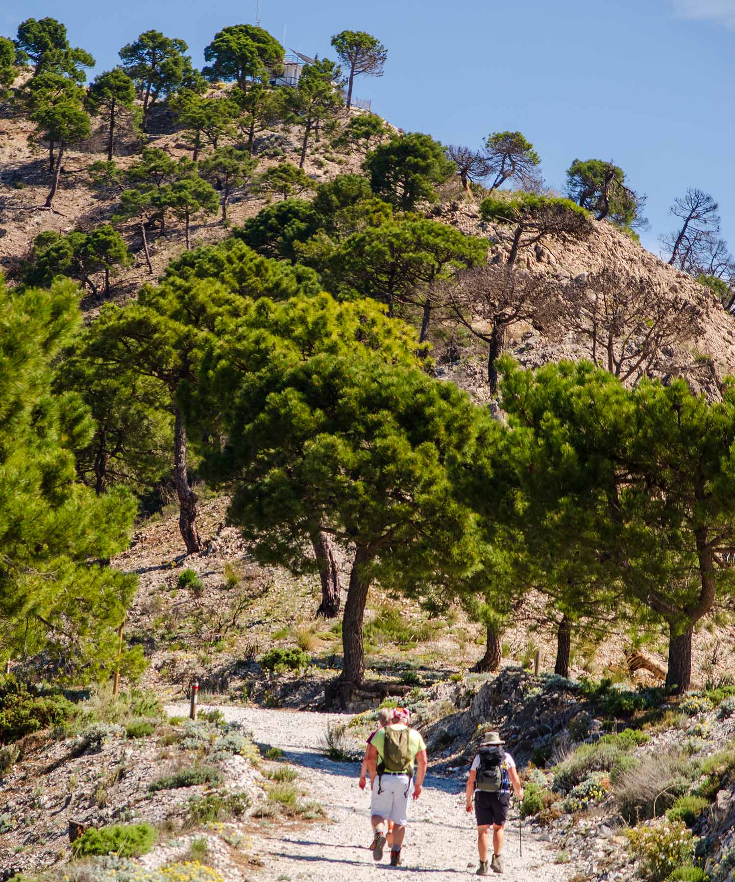
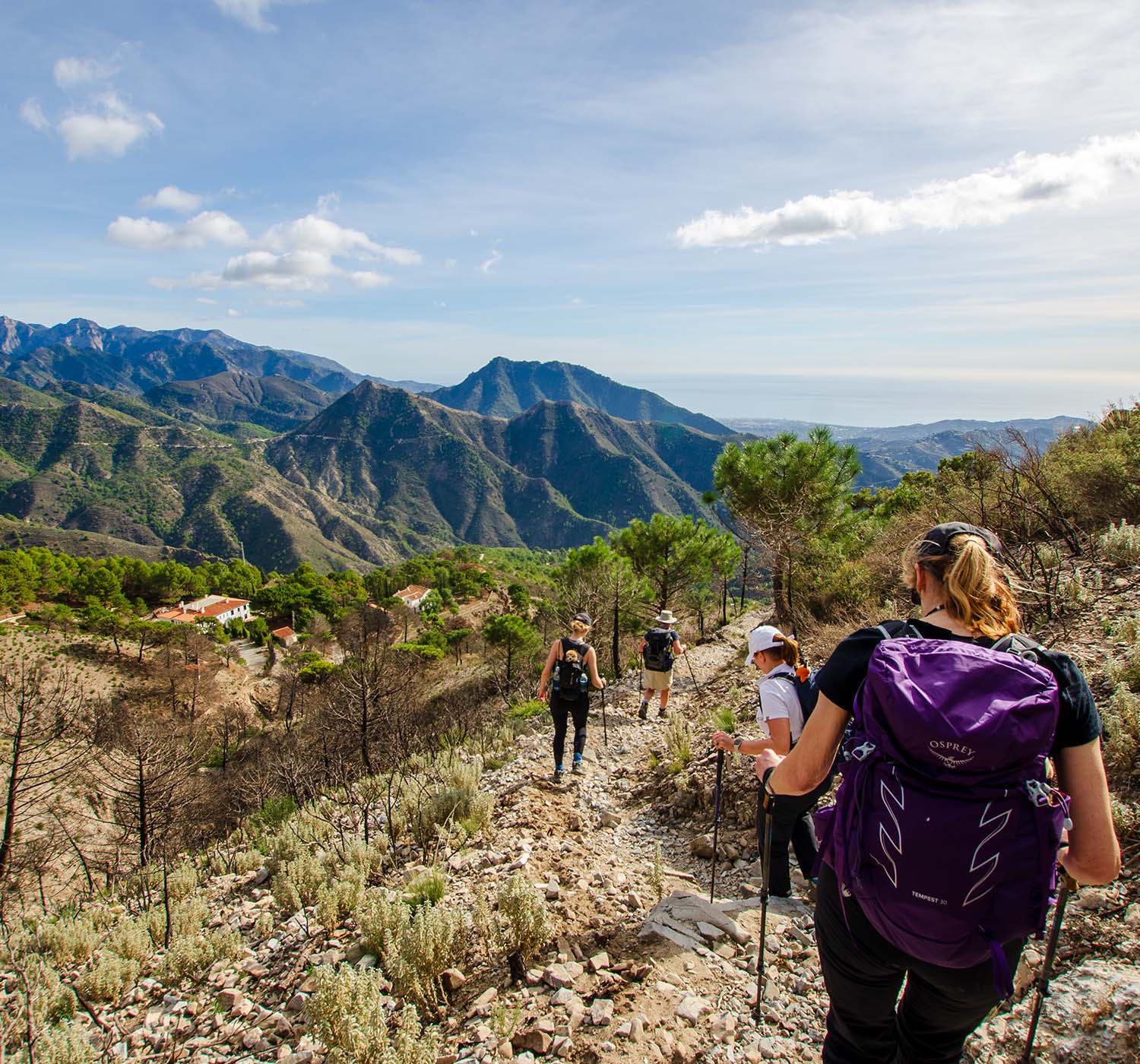
The Almijara mountain range is the largest in the natural park of the Sierras de Tejeda, Almijara, and Alhama. To the south, it is attached to the Competa mountain range, with Cisne (1481 m asl) as the most significant elevation. To the north is the Sierra de Jata, whose highest altitude is Cerro de la Chapa (1818 m asl), and to the west is the Sierra de Tejeda, with La Maroma (2068 m asl) as the highest point in the natural park.
The Almijara mountain range extends northwest-southeast. The mountain of El Lucero, the most distinguishing peak, divides the area into two parts. The western section is much steeper but softens as it reaches the end of the range to the east.
A visiting walking guide once described these mountains as 'Brutal', referring to their monochrome colour, steep and sheer rocky sides, and often impassable deep ravines. But on the lower slopes and closer to the coast, the small villages and towns, where the forests of Aleppo pines populate the areas in between, offer a warm and inviting welcome.
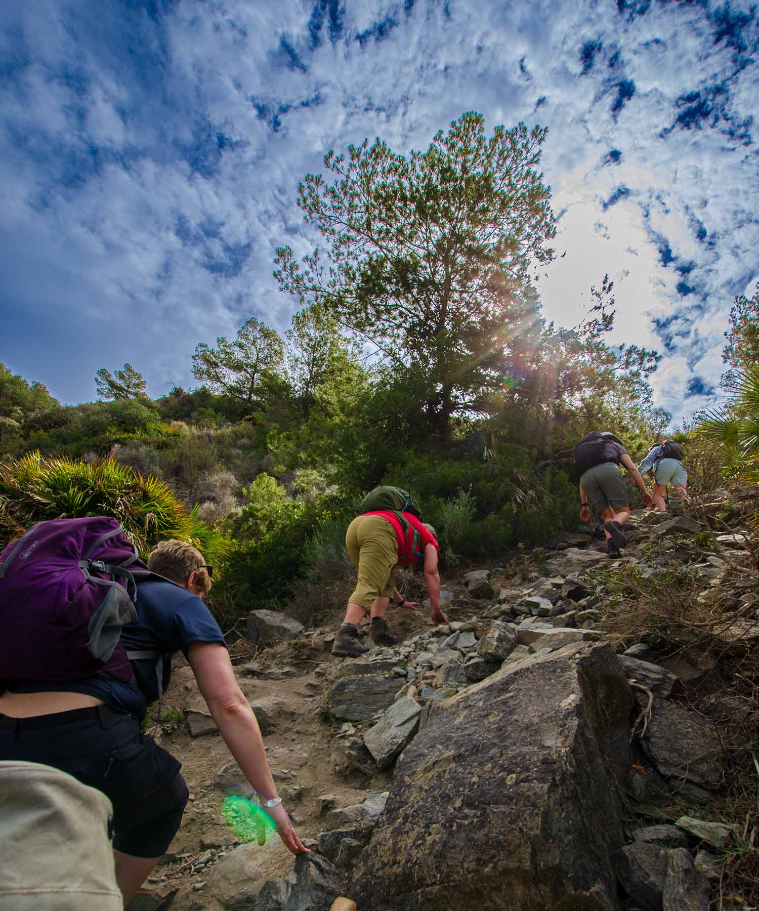
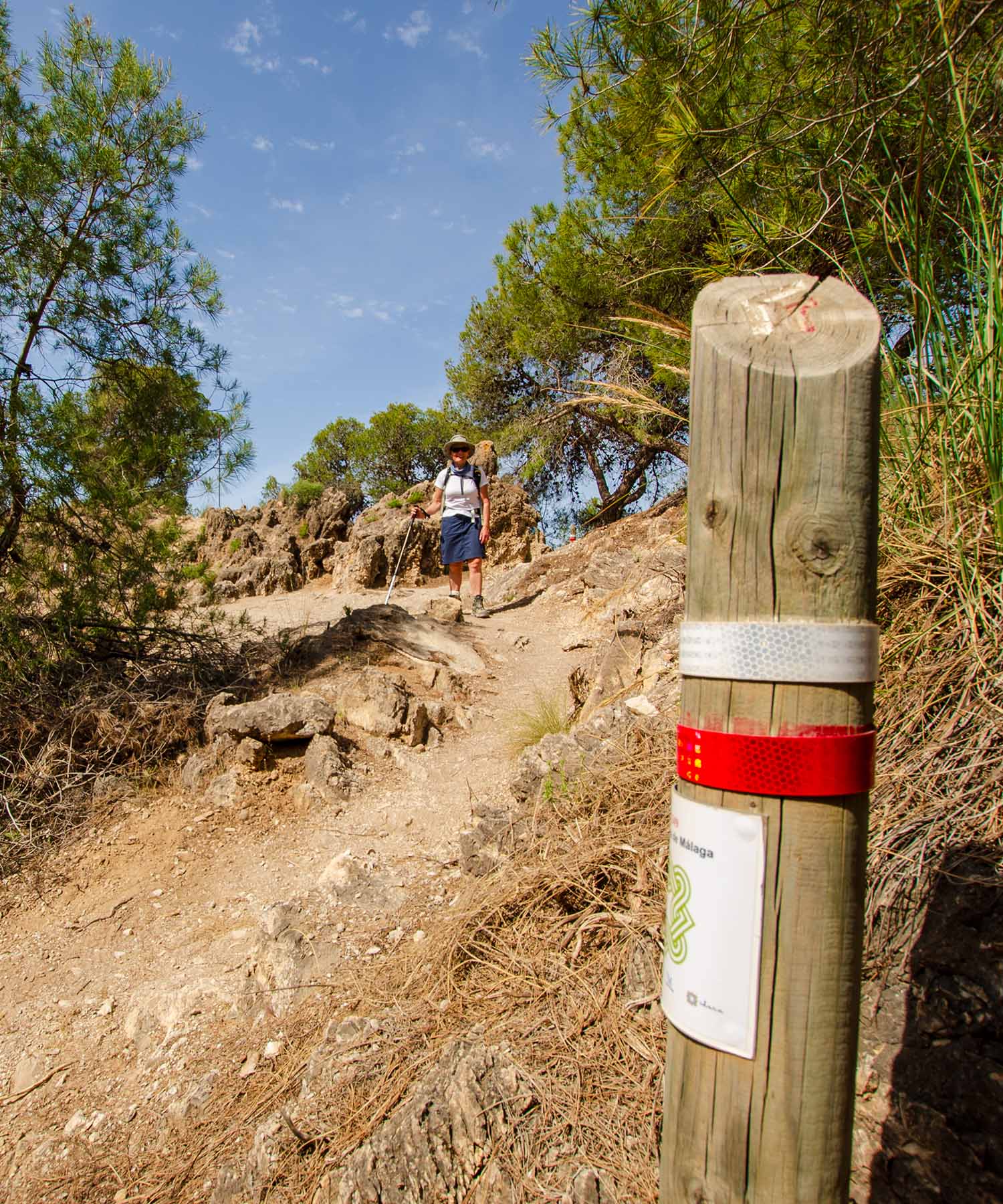
Well-established trading routes linking the villages and towns date back to when mules transported fish, fruit, and vegetables. These routes now make excellent walking paths. Even the narrow paths within the mountains offer good movement over the ground.
Competa and Frigiliana
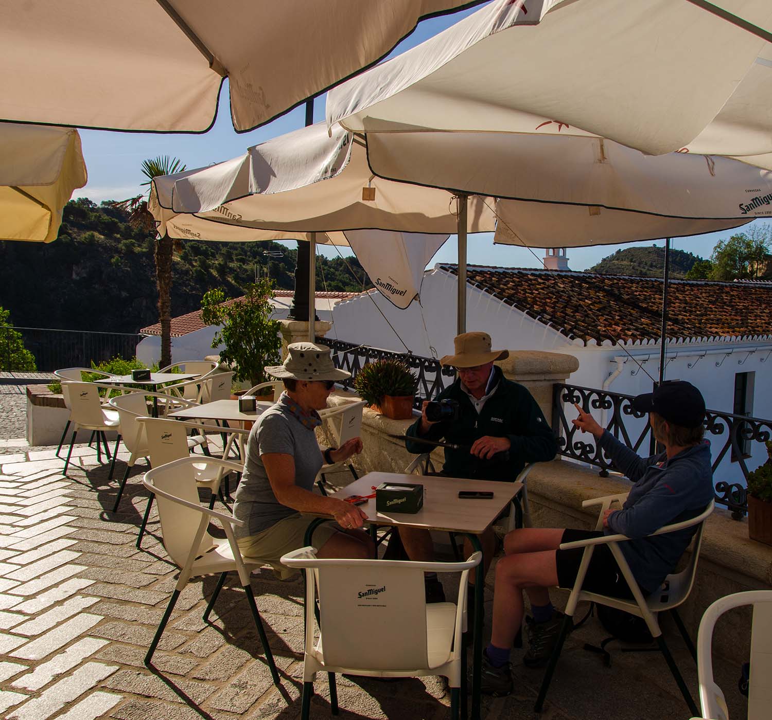
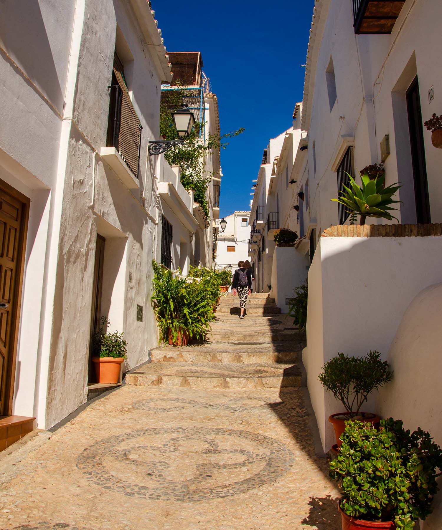
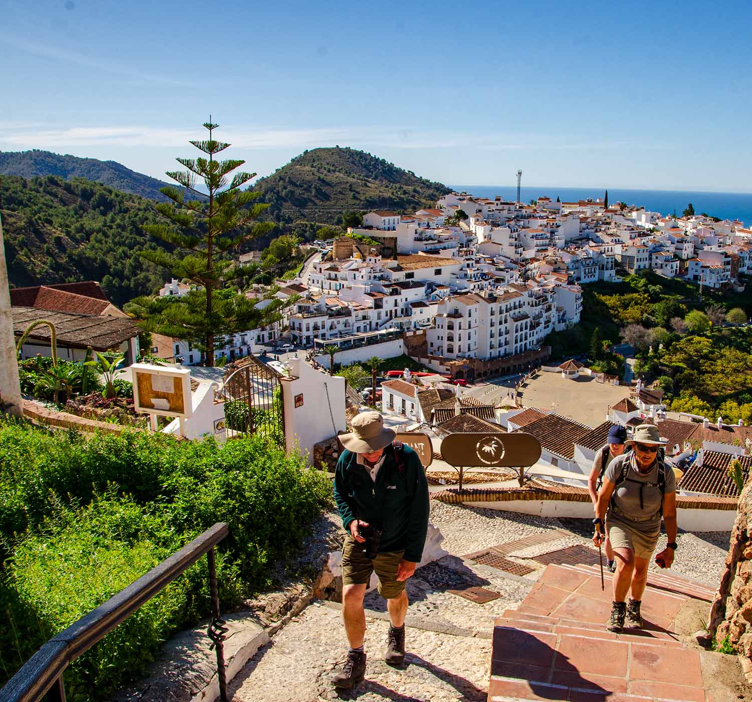
Although the towns of Competa and Frigiliana, the starting points for two of our walks, share many similarities, they are also very different. Both have Roman and Moorish history and delightfully white-painted buildings associated with Andalucía.
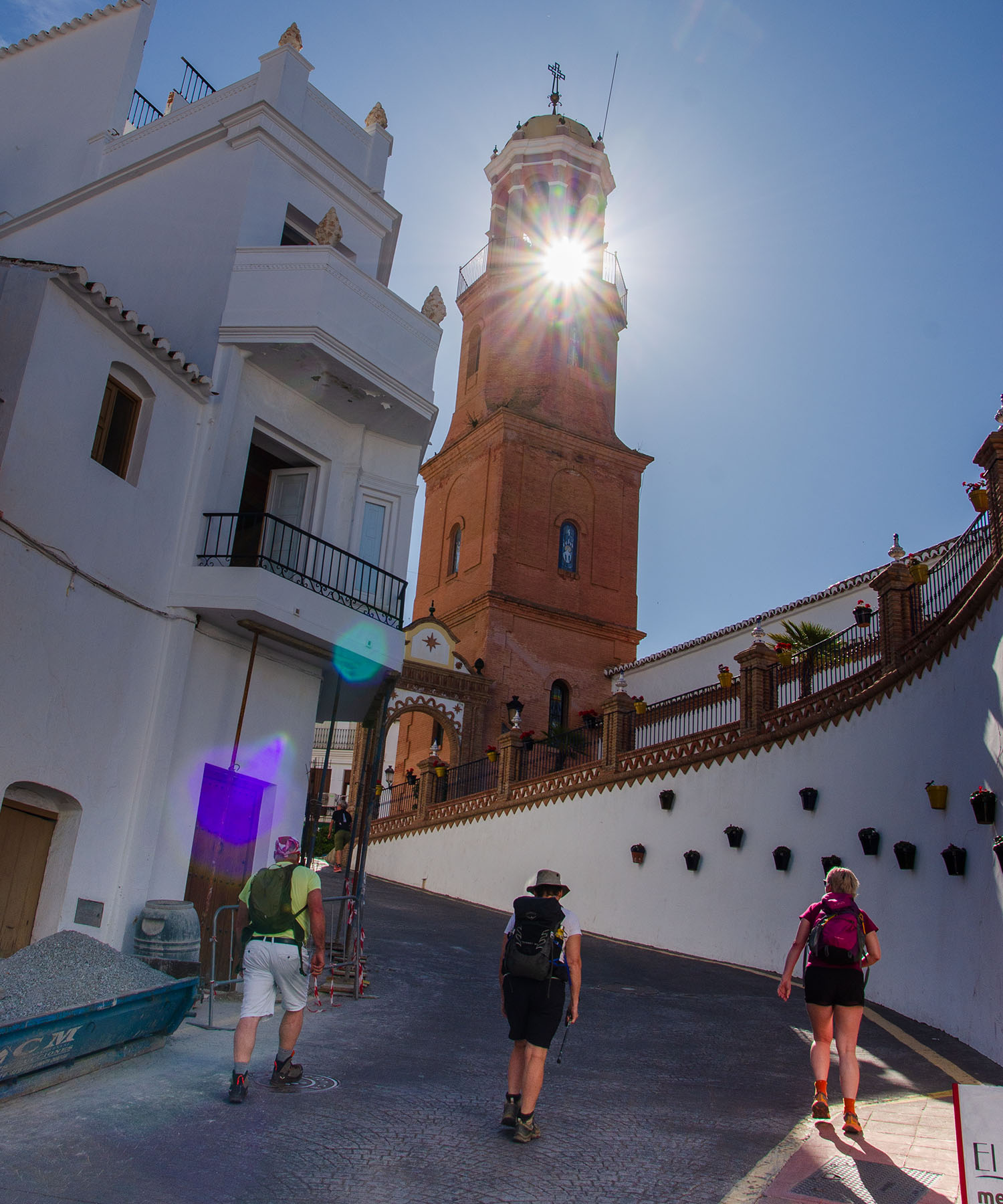
If you have stayed in Nerja, you will know of or have visited Frigiliana. Winner of the first 'Most Beautiful Village In Spain' competition in 1982, it has become a significant tourist attraction.
I avoid overly touristic places, but an exception must be made for Frigiliana. Its location, history, beautiful narrow streets, and quaint buildings deserve a visit.
Frigiliana is a confluence of this area's natural beauty, historical links, and cultural importance. The old town, which we will briefly tour before starting the Cruz de Pinto walk, offers a window into the past. The narrow streets are decorated with ceramic mosaics, giving a glimpse of the Moorish old quarter.
In the main square is the 16th-century Renaissance Palace, El Ingenio, which now houses a sugar cane factory—I believe it is the only one in Europe.
Frigiliana also had a series of irrigation channels, Acequias, that once powered the mills that produced sugar and paper and provided crop irrigation. The Acequia de Lizar, which stretches far up into the mountains, is still operating and visible during our walk.
Frigiliana was also part of the trading route that transported produce from the coast into the mountains. Only a few kilometres further inland, on the mule route, is the atmospheric village of Acebuchal, known locally as the "Lost Village." It serves as a poignant reminder of the dark past of the Spanish Civil War.
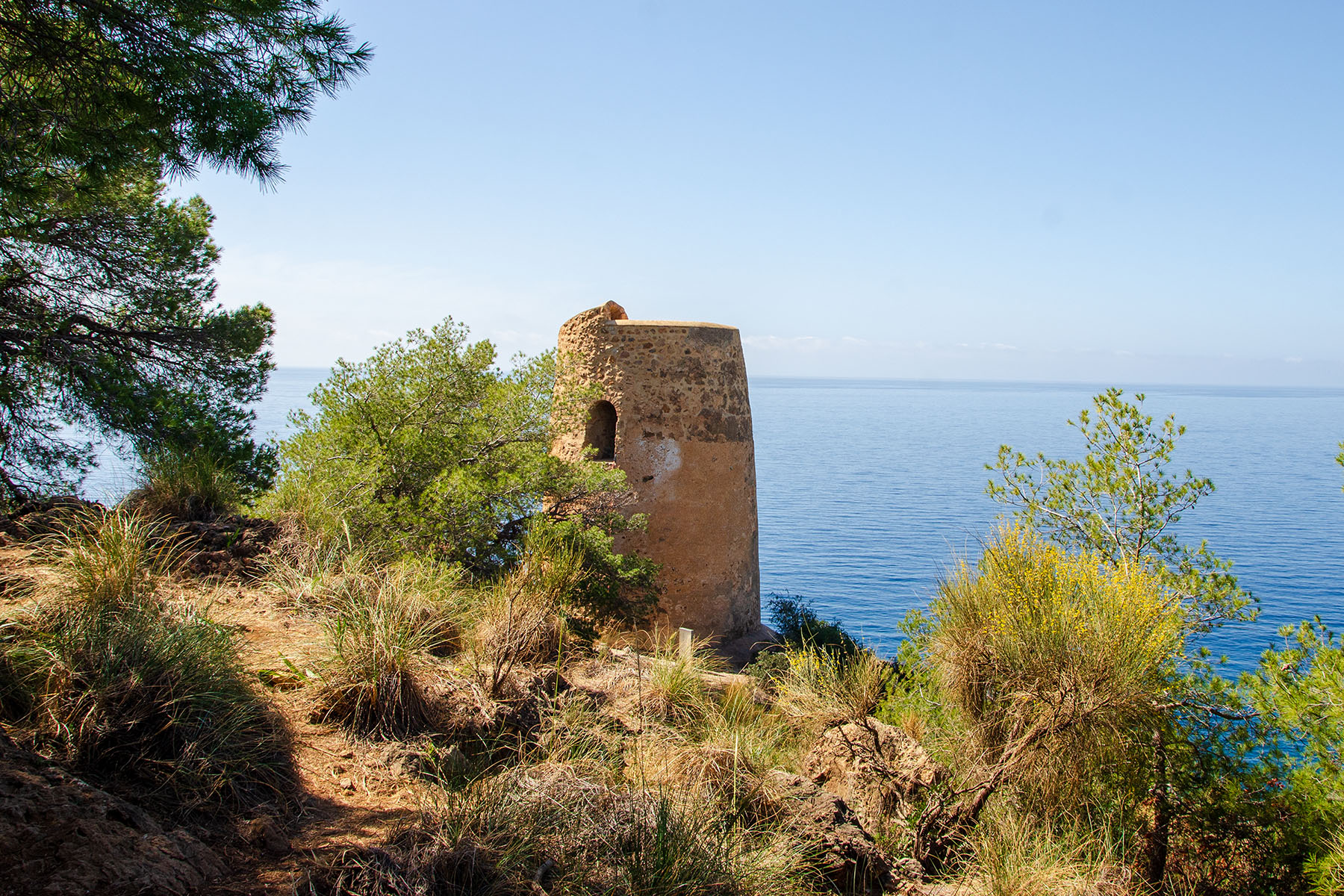
Coastal Watchtowers of Andalucía
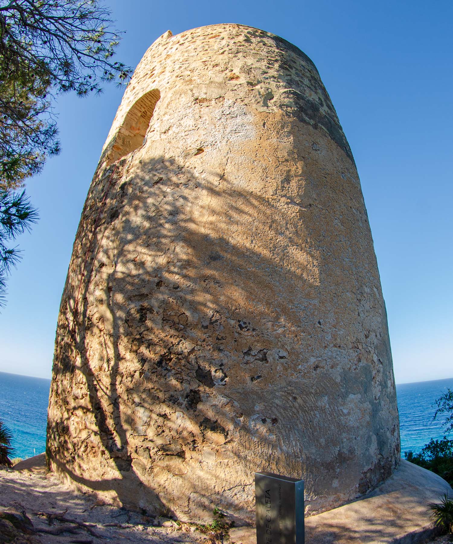
Many of the watchtowers that can be seen along the Andalucían coast have Moorish origins, as most were constructed by the Nasrid dynasty of Granada after 1250. Some were built (or reconstructed) by the Christians in the early 1500s, with a particular focus on the Kingdom of Granada. This was shortly after the Moors were defeated and expelled in 1492. The coast, being depopulated, required special protection from incursions.
Over half the towers constructed have lasted to the present day; due to their remarkable solid construction and use up to the middle of the 20th century, they have been possible to maintain.
The towers from the Moorish or early Christian periods are identified as rectangular or cylindrical in shape with vertical walls, whereas those constructed or reconstructed after 1570 are slightly conical.
The primary aim of the towers was to watch for incursions and signal warnings so the local inhabitants could go into hiding. The warnings were smoke from a fire of damp straw by day and light from a dry straw fire at night.
After 1518, the attacks increased mainly due to barbary pirates, admirals of the Ottoman Sultan based in North Africa, conducting war operations for political ends. Initially, the pirate raids concentrated on shipping but later escalated to land raids. They were slave hunters, and their methods were ferocious, capturing young people for the Ottoman slave trade.
The watchtowers were generally manned by a Captain and two or three soldiers supported by local 'towermen' employed for housekeeping duties. A common feature that can still be noticed today is a rough opening or 'hole' at a high level. This was the 'door' of the tower, which was reached from outside by a lowered rope ladder.
This entrance level is generally the only room with a domed ceiling and stone stairs to a rooftop terrace. The fire for the day smoke signals were made in a fireplace in this room, which had a chimney on the roof. The fire for the night light was made on the roof.
By the 1700s, the towers had become defensive, and many were supplied with four-pound cannons. The old towers were surveyed. Installing one or two four-pound cannons required strengthening the roof and lowering the parapet.
Most towers also had a 'garita' (guard post) on the roof added with an embrasure (slit-shaped window) for rifle shooting. Many towers also had an overhang added to the roof parapet wall above the entrance, which was for pouring boiling oil onto would-be attackers.
After 1829, many towers became Casa de Carabineros posts. This was the Spanish armed corps whose mission was to monitor coasts and borders and repress smuggling. Adjoining or nearby barracks were constructed. In 1940, these posts were assumed into Guardia Civil barracks.
The first law in Spain was introduced in 1949 to protect defensive architectural heritage. In 1985, Spain's historical patrimony law came into force, and the watchtower towers were listed by the regional government and declared 'Bien de Interés Cultural'.


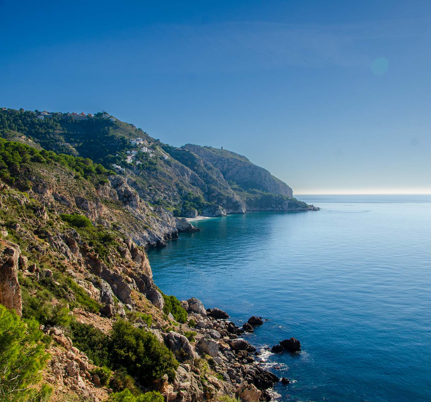
The Maro/Cerro Gordo Natural Park
This is a unique stretch of near-virgin coastline, which runs 12km east of Nerja to La Herradura and covers an area of 1,815ha, including a protected part offshore. Its dramatic rocky cliffs (acantilados) plunge to the sea, leaving a few sheltered bays with beaches in between, which can be accessed via staircases or tracks.
Located on the very edges of the Sierra Almijara, these limestone outcrops have been eroded by the sea and weather into fantastic shapes, with offshore stacks, arches, and undersea caves like the Cueva de los Genoveses and the Cueva de la Cajilla.
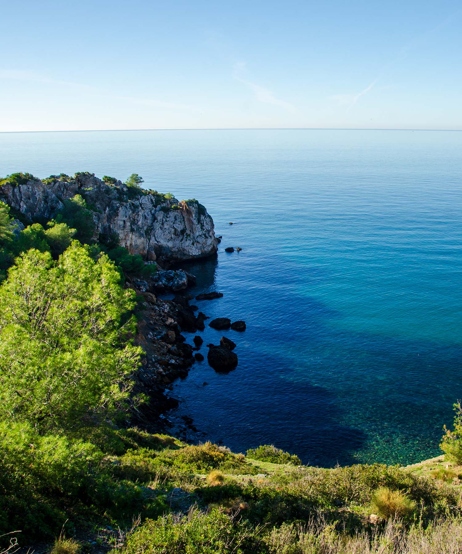
Starting our walk from the Cañuelo beach, we will journey through this spectacular coastal landscape towards the cliffs of Cerro Gordo. The panorama comprises cliffs interspersed with beaches and small coves that are difficult to access. At the same time, impressive cultivated terraces hang at great heights on the mountain slopes.
As we travel between the beaches, we will encounter pockets of Aleppo pine and areas covered with thermo-Mediterranean scrub. This will allow us to observe rare species. One of them is boxwood (Buxus balearica), a toxic shrub that withstands extreme temperatures and can live for more than five hundred years.
The presence of birds is constant, mainly marine or coastal birds, and there are numerous species that we can observe, including birds of prey.
As we move along the track, encountering the Southern Spanish Ibex is not uncommon. Sometimes, it's on the path, and other times, it's clinging precariously to the near vertical rockface.
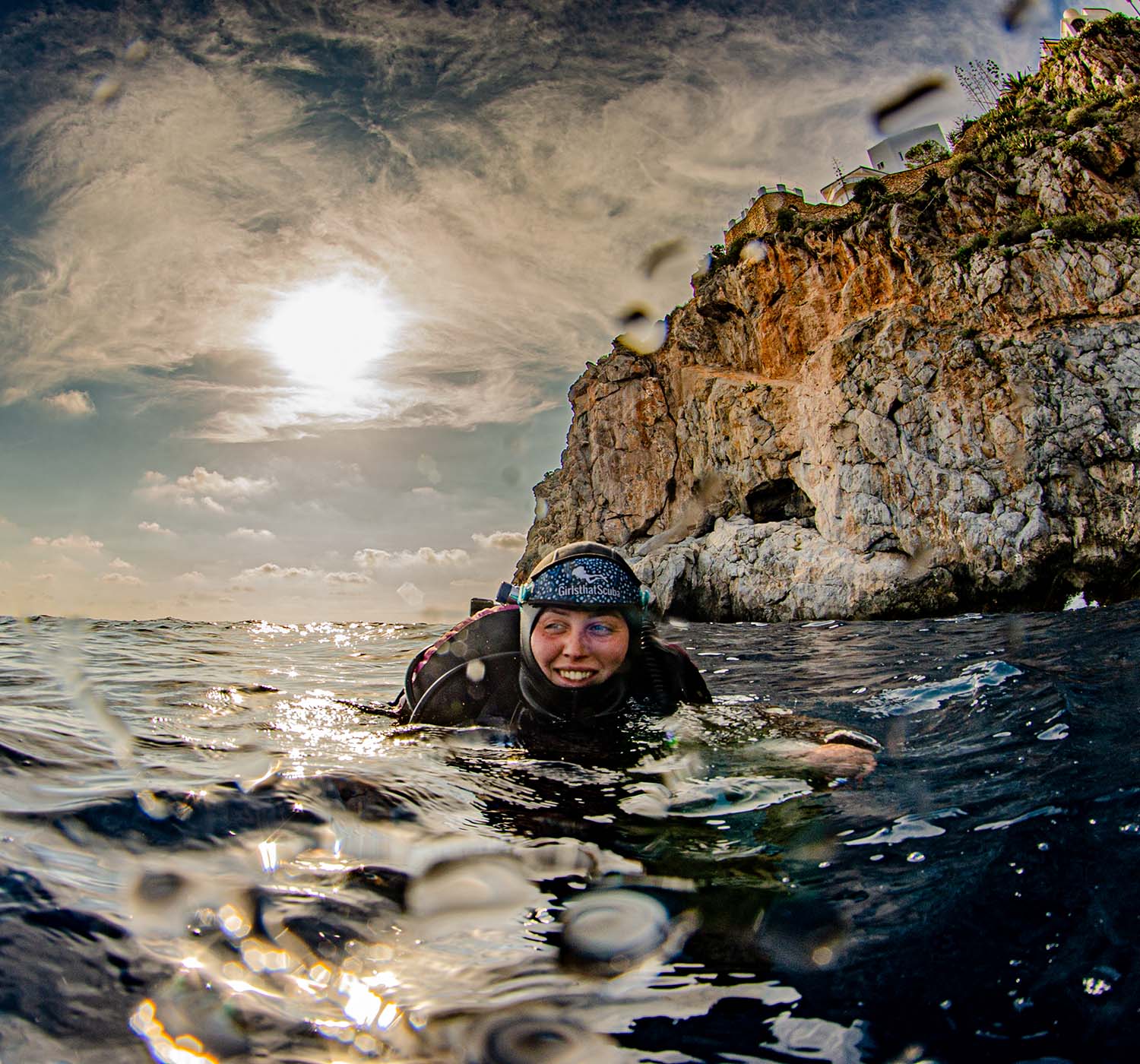
The natural park also has a designated underwater strip one nautical mile wide parallel to the coastline, which is of great ecological value.
If you are fortunate enough to dive in this protected area, whether from beaches like Cantarriján or a chartered dive boat from La Herradura, the natural park contains caves and steep bottoms where a large number of plant species live, accompanied by a wide variety of marine fauna.
In its shelter, corals, sponges, and a multitude of invertebrates coexist with a wide variety of fish, some brightly coloured, such as the Cuckoo Wrasse or the Yellow Triple Fin Blennie, and others simply spectacular, such as the silver sunfish (Mola Mola).
The few patches of Posidonia Oceanica meadows stand out for their uniqueness. They are nothing more than mere testimonies of a much more favourable past and should serve as a severe warning to avoid its total disappearance.