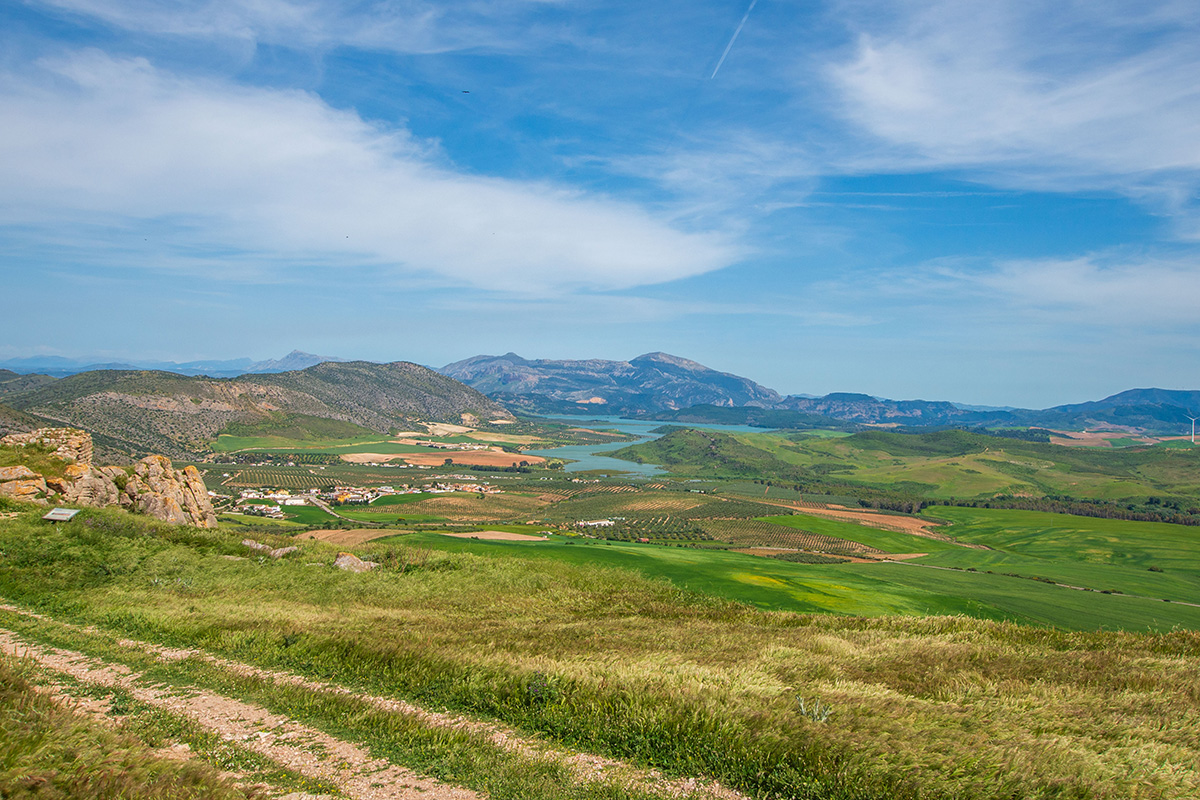
Long before the Río Guadalhorce began its journey to the Mediterranean, the landscape that would shape its course was already taking form.
Millions of years ago, as mountains slowly rose across southern Andalucía, a broad basin developed between them. Rain falling on the surrounding hills had only one place to go. Over immense periods of time, water carved valleys, laid down fertile soils and eventually cut a spectacular route through the limestone on its journey to the sea.
It's easy to see the Guadalhorce simply as the river that flows through the valley. In reality, it's the thread that connects almost everything you experience when walking here. The broad plains around Antequera, the fertile farmland, the dramatic Gaitanes Gorge, the reservoirs, the wildlife and even the Caminito del Rey all owe their existence, in one way or another, to water.
Once you understand how the valley was shaped, you begin to see it differently. Rather than simply following a river, you're following a story that began millions of years ago and is still shaping the landscape today.
A Basin Waiting for Water
To understand the Guadalhorce Valley, it helps to begin long before there was a river.
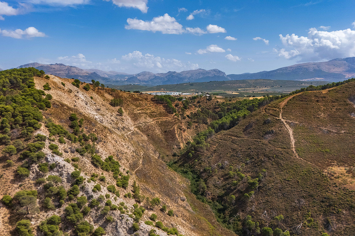
Beginning around 150 million years ago, much of what is now southern Andalucía lay beneath a warm, shallow sea. Over countless generations, the remains of tiny marine organisms settled on the seabed, gradually forming thick layers of limestone. Today, those same rocks rise above the valley as the dramatic limestone ridges that give the Guadalhorce much of its distinctive character.
Much later, as the African and Iberian tectonic plates collided, those ancient seabeds slowly rose to form the mountains of southern Andalucía. But they didn't rise evenly. While some areas were lifted into rugged limestone ranges, others remained lower, creating a broad basin surrounded by higher ground.
It was this broad basin that made everything else possible.
Rain falling on the surrounding mountains flowed towards the lowest land. Over millions of years, streams carved their way through the landscape, joining together to create the Río Guadalhorce and the network of tributaries that feed it today.
Following the Water
It all begins with rain.
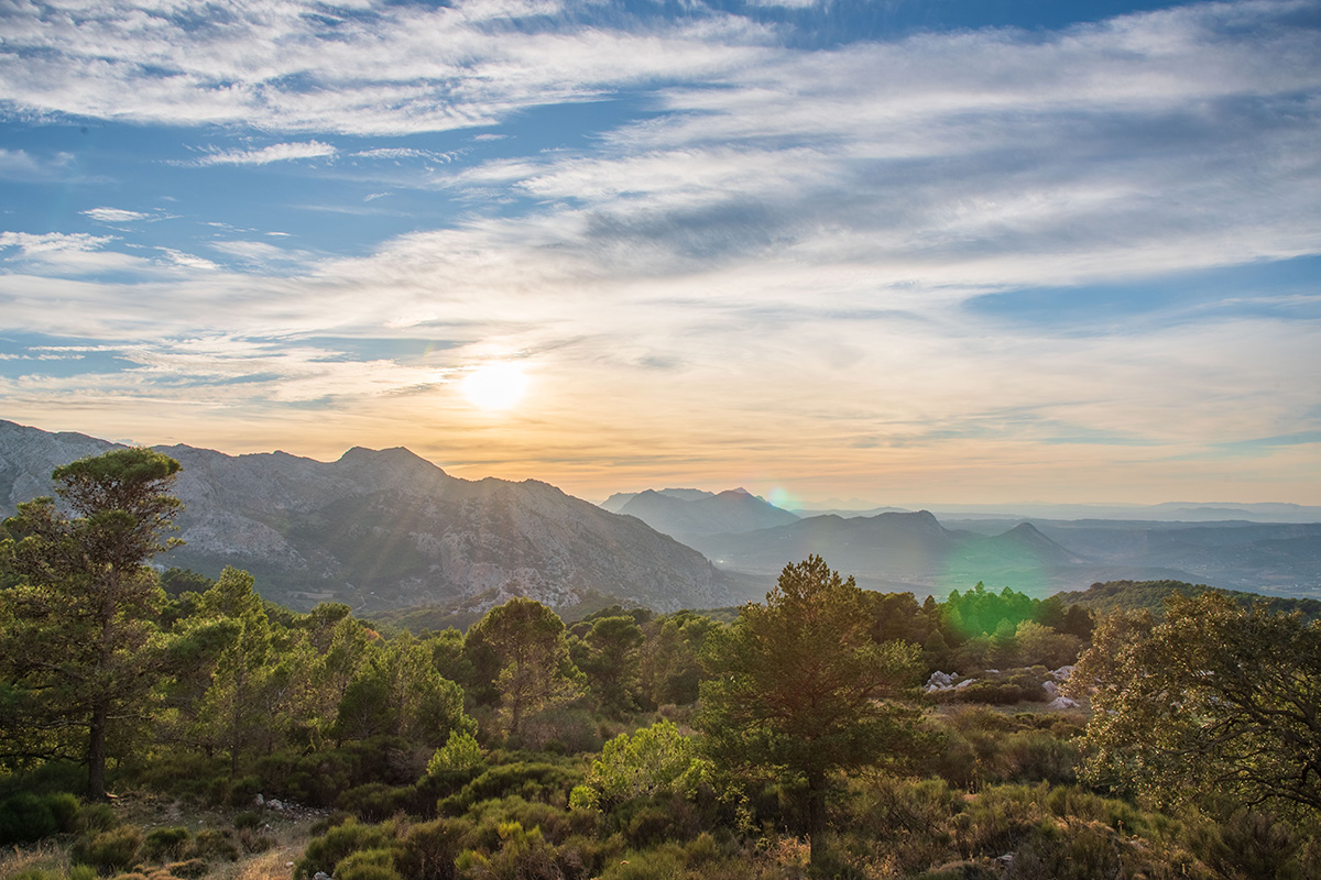
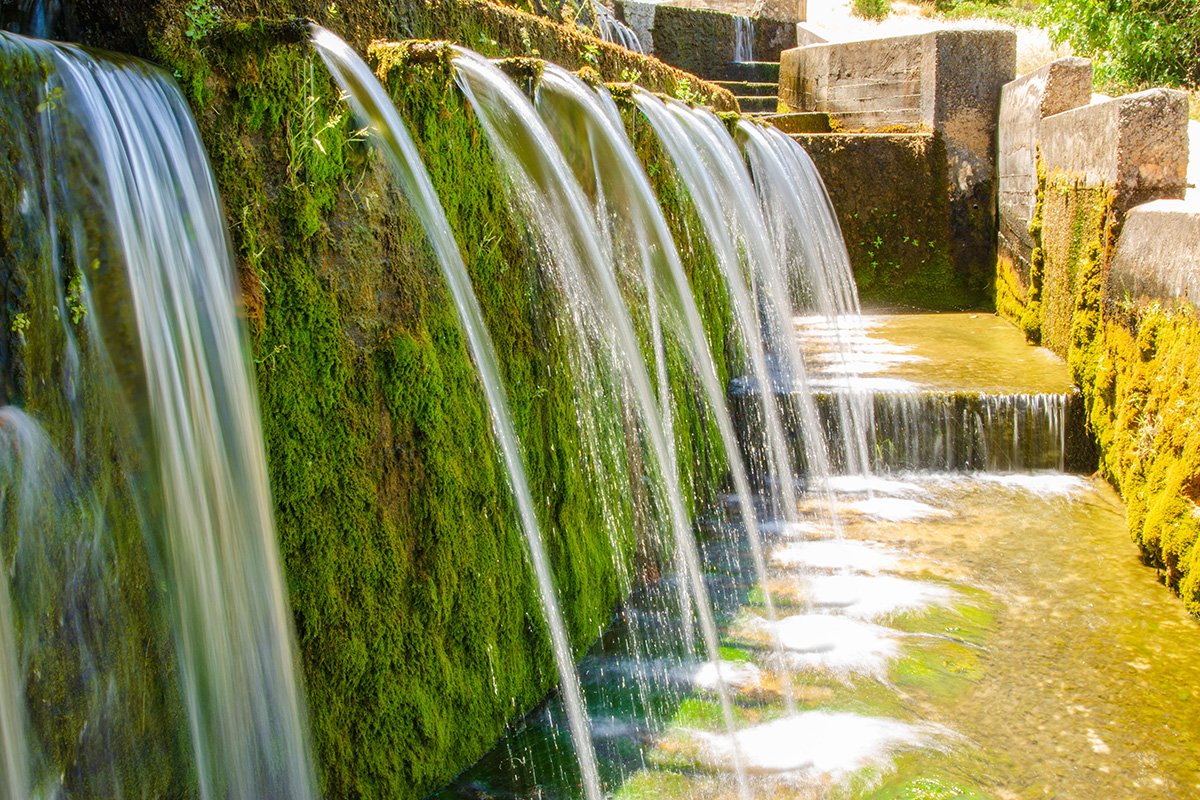
Falling across the mountains surrounding the Guadalhorce Valley, every shower begins the same remarkable journey. Some water disappears into the limestone before emerging again through natural springs, such as the Fuente de los Cien Caños near Villanueva del Trabuco. Elsewhere, it gathers in countless streams that gradually join to form rivers. Wherever it falls, almost every drop eventually finds its way into the Río Guadalhorce on its journey to the Mediterranean.
Together, these streams collect water from across more than half of Málaga Province before eventually joining the Río Guadalhorce. By the time the river reaches the broad plains around Antequera, it is carrying water from mountain ranges spread across much of the province, all brought together within the same river system.
As the river continues its journey, major tributaries such as the Río Turón and Río Guadalteba join the Guadalhorce, bringing together water from across the surrounding mountains. Together, they direct water towards a single outlet, where the Río Guadalhorce cuts through the Gaitanes Gorge before continuing its journey to the Mediterranean.
Shaping the Landscape
Water has done far more than carve a route through the Guadalhorce Valley. It has created much of the landscape we see today.
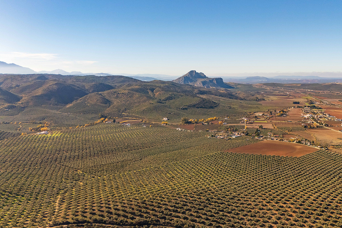
As the growing river system made its way towards the sea, it gradually carved valleys into the surrounding landscape, cutting deeper wherever it encountered softer rock or natural weaknesses in the limestone. At the same time, it carried enormous quantities of sand, gravel and silt downstream, depositing them across the basin to create the fertile plains that now surround places such as Antequera.
This is one of the reasons the Guadalhorce Valley feels so different from many other parts of Andalucía. Broad, open farmland lies alongside rugged limestone mountains, while deep gorges cut through the surrounding hills. Few places illustrate so clearly how millions of years of geology continue to shape the landscape we see today.
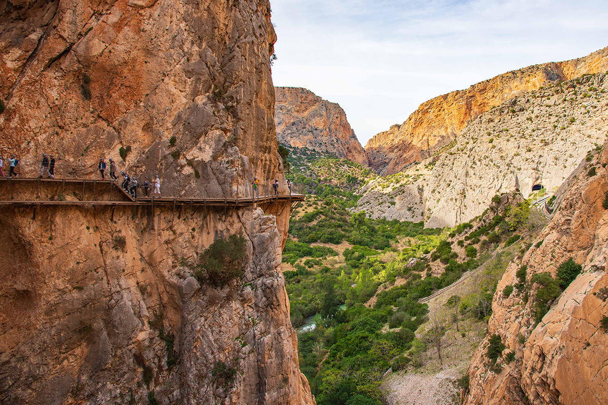
Perhaps nowhere illustrates that story better than the Desfiladero de los Gaitanes. Here, the waters collected from across the Guadalhorce Basin finally leave the basin, cutting through the limestone on their journey to the Mediterranean. Over millions of years, the river carved the Gaitanes Gorge we see today. Much later, it would become the setting for the Caminito del Rey.
Water and People
Long before reservoirs, hydroelectric schemes or modern irrigation, water had already created the conditions that allowed people to settle here.
The fertile soils deposited by the river, together with a reliable supply of fresh water, created ideal conditions for farming. Archaeological evidence shows that people have lived in the valley for thousands of years, while successive civilisations, from the Romans to the Moors, learned how to make the best use of the land and its water.
Even today, water continues to shape life in the Guadalhorce Valley. Olive groves, citrus orchards and fields of cereals all depend on the same river system that has shaped the valley for millions of years. Traditional villages grew where water was readily available, while irrigation channels carried it across farmland, turning what might otherwise have been dry ground into productive agricultural land.
For walkers, this history is never far away. Ancient paths, old bridges, irrigation channels and villages all tell part of the same story. They remind us that the Guadalhorce has never been just a river. For thousands of years, it has shaped the lives of the people who have lived beside it.
Engineering the River
For thousands of years, people had adapted to the Guadalhorce. By the beginning of the twentieth century, they had begun to reshape the river itself.
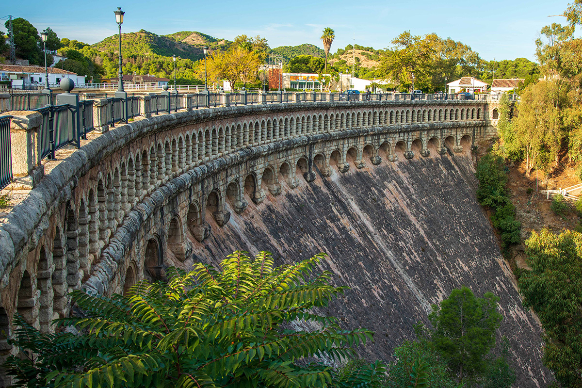
The steep descent through the Gaitanes Gorge made it an ideal place to generate hydroelectric power. To make use of that energy, a series of dams and reservoirs were constructed, storing water from the Guadalhorce and its major tributaries before releasing it through hydroelectric power stations further downstream. The system also provided a reliable supply of water for agriculture, industry and the growing city of Málaga.
Building and maintaining this engineering network in such rugged country was no easy task. Narrow walkways were built high above the river, allowing workers to reach and maintain the hydroelectric system. One of those walkways would later become known around the world as the Caminito del Rey.
Today, many people visit the Caminito del Rey for the experience of walking through the Gaitanes Gorge, often without realising why the walkway was built in the first place. In many ways, it represents the latest chapter in a story that began millions of years earlier, when water first started carving its way through the limestone. Without the river, there would have been no gorge. Without the gorge, there would have been no hydroelectric scheme. And without that engineering project, there would have been no Caminito del Rey.
More Than a River
By the time the Río Guadalhorce reaches the Mediterranean, it has collected water from thousands of streams and springs along the way. Its journey has shaped fertile farmland, carved the Gaitanes Gorge, sustained wildlife and supported communities for thousands of years.
Perhaps the real story of the Guadalhorce isn't the river itself. It's the way water connects everything around it. The mountains that capture the rain, the limestone that stores it underground, the springs that release it, the tributaries that gather it, the reservoirs that manage it, and finally the wetlands where it reaches the sea are all part of the same story.
When I walk through the Guadalhorce Valley, I often think about those connections. A quiet spring emerging from the limestone, an ancient irrigation channel beside a village path or the vast sweep of water behind one of the reservoirs all become part of something much bigger. They're reminders that every landscape has a story, and here that story has been written by water over millions of years.
Understanding that doesn't change the scenery. But it does change the way you see it.